MAPPING BROOKLYN: THE JOURNEY AS GRAFFITI

Mapping Brooklyn: The Journey as Graffiti_3-4 (Bushwick Version), 2015-2017, GPS walk, collage, and digital archival print. 33.25 x 33 inches (each).

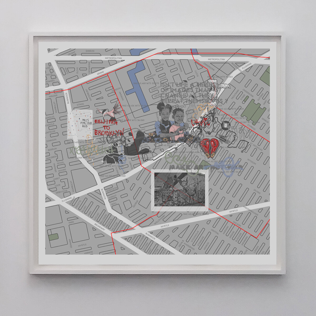
Mapping Brooklyn: The Journey as Graffiti_3 (Bushwick Version), 2015-2017, GPS walk, collage, and digital archival print. 33.25 x 33 inches.

Mapping Brooklyn: The Journey as Graffiti_4 (Bushwick Version), 2015-2017, GPS walk, collage, and digital archival print. 33.25 x 33 inches.

Mapping Brooklyn: The Journey as Graffiti_1 (Bushwick Version), 2015-2017, GPS walk, collage, and digital archival print. 33.25 x 33 inches.
Mapping Brooklyn: The Journey as Graffiti_2 (Bushwick Version), 2015-2017, GPS walk, collage, and digital archival print. 33.25 x 33 inches.
Mapping Brooklyn: The Journey as Graffiti is an ongoing art project and series of individualized printed maps integrating pedestrian fieldwork and archival, online, and visual mapping research to locate graffiti in Brooklyn. However, like Hansel and Gretel’s biscuit crumbs, the graffiti cannot be used as reliable permanent landmarks for navigation. This work explores the cross-disciplinary influences of combining historic maps and bygone graffiti with new technology: GPS coordinates and online maps. By positioning the audience in the space between past and present, and providing a navigational instrument that adds new media layers to the mass media form, individuals are empowered to connect to the history of the city.